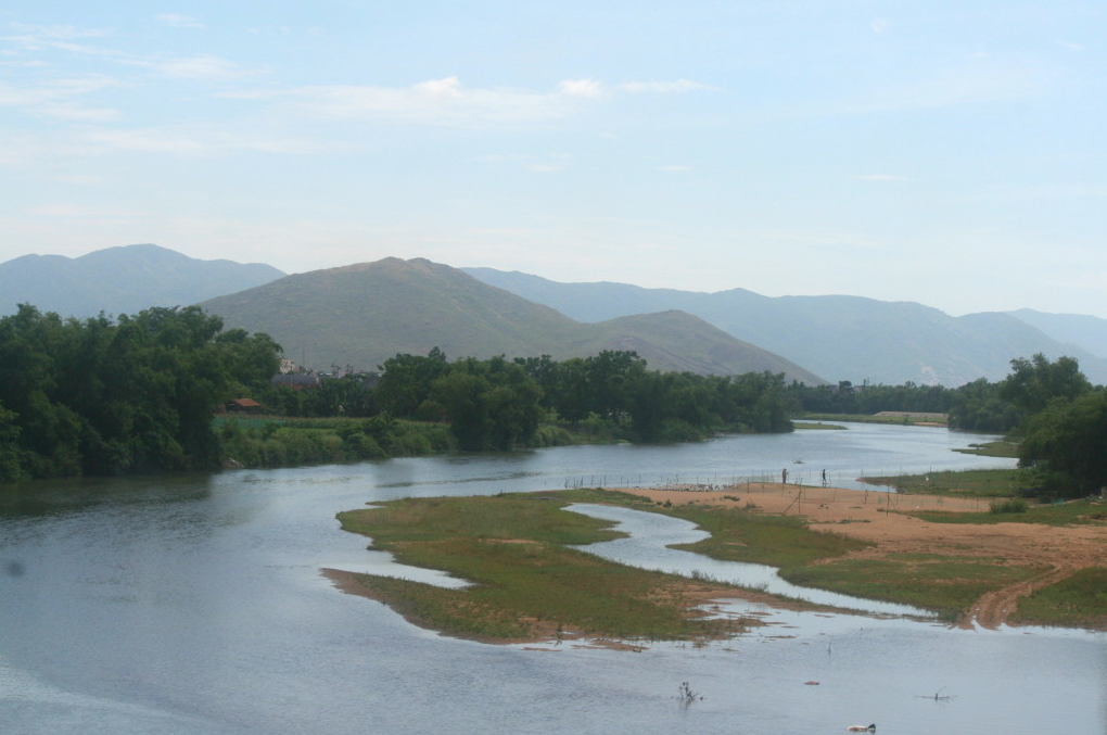
I am in the final stages of preparing the materials for an upcoming campaign based around US and Free World Forces operations in the Republic of Vietnam in early 1966. Using the background of Operation Masher / White Wing and the orders of battle for forces present there from later January – early March 1966 I have developed the following campaign map.
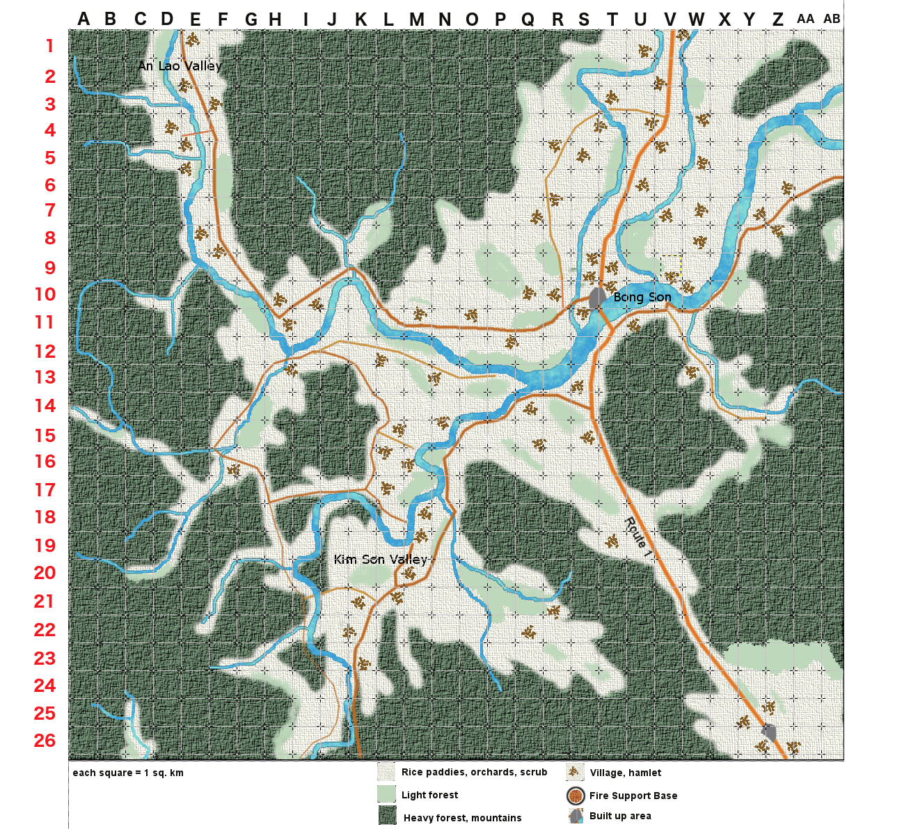 Each square is 1 km squared. Companies will be the standard unit represented on the map, although in some cases platoons can be treated separately.
Operation Masher as it was originally named before being switched to the ironic White Wing after White House concern about aggressive sounding operationally names, was conducted by brigades of the First Cavalry Division (Airmobile) against the North Vietnamese 3rd or Yellow Division in Binh Dinh province located on the coast in south central Vietnam.
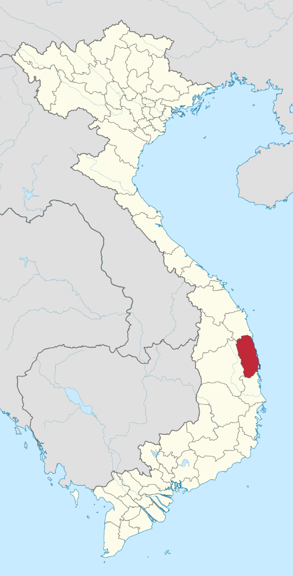
The communist north relied on the rice harvest from the province and had a strong base of support stretching back decades.